The 4,000 Steps
4 points of interest
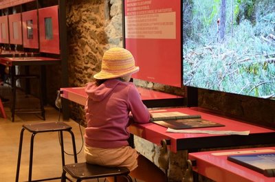
Montée au dessus de Valleraugue - © Michel Monnot  Flora
FloraMediterranean level
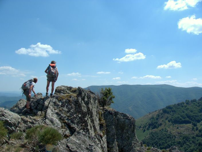
To begin with, the path is in the holm-oak altitudinal zone. Holm oaks tend to grow on the Mediterranean side of the watershed, where they are plentiful up to an altitude of about 500 m. Here, they have been eradicated to create crop terraces. On the either side of the path, which runs between high walls and has steps that give access to gardens, you can still see these terraces, now invaded by or planted with conifers. Like the holm oak, the tree heath and strawberry trees that are also present are typically Mediterranean species. Plants in this zone are xerophile, meaning that they thrive in dry environments. They are well-adapted because their small and glazed leaves limit water evaporation.
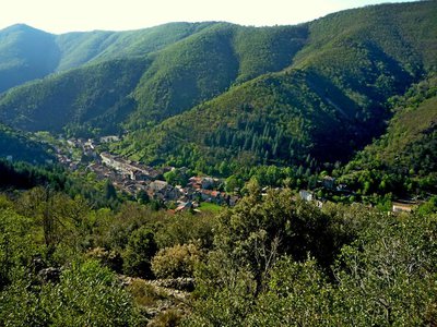
L'Estivel - © Nathalie Thomas AgriculturePaturage
This pastoral landscape was deforested by humans for livestock farming. At altitudes of 800 to 900 m, the conifers and shrubs of the montane zone already make an appearance: Scots pines, spruces and blueberries. Yellow-flowering broom has invaded some areas as a consequence of pastureland being gradually abandoned. The pastures at Estivel and Cazalis are still used by flocks of sheep. In the mid-19th century, the first reforestation efforts on Mont Aigoual led to tensions between farmers and foresters because they imposed changes in pastoral practices. Shepherds had to prevent their flocks from eating the young trees, including on the communal areas where they had previously grazed. Since then, the Office National des Forêts has not carried out any more reforestation either on pastureland or on farmland, and instead favours flocks grazing in the forest, which reduces the risk of fires.
Guy.Grégoire  History
A Resistance refuge
In early 1943, the first Resistance group of the Cévennes was formed. The refuge of the Aire-de-côte group was one of the wooden shacks used for forestry works, whose roof was camouflaged using branches. On 10 July 1943, a message warned the post office in Rousses that a German attack was imminent. The Resistance was informed – but a storm delayed the group’s departure. The Germans arrived… The forester was arrested as an accomplice, accused of being in radio contact with London. Indeed, the Aire-de-côte Resistance listened to a crystal radio set built by the two Jews who were hiding there.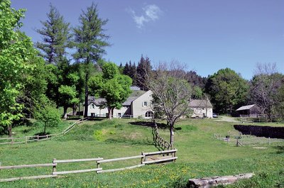
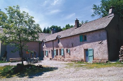
Aire de Côte - Stephan.Corporan HistoryAire de Côte
Aire-de-Côte farm was purchased by the French State in 1862, during the period of reforestation. Before the farm became a stopover gîte, it was for a long time the residence of the local forester and his family. In the first half of the 20th century, Aire-de-Côte was very different. To the north, behind the house, was the draille (drovers’ road), lined by upright stones and 40 to 50 metres wide. Thousands of transhumant animals passed every year on their way to or from summer pastures. The transhumant animals stopped there at lunchtime, then continued on towards Mont Aigoual.
Description
Signposts will guide you all along this route. In the description below, the signposted place names and/or directions are given in bold italics between quotation marks:
Starting from "Valleraugue - Office du Tourisme", until you reach
- "Belvédère des 4000", make for Mont Aigoual by
- "Roc Noir",
- "Rocalte",
- "L'Estivel",
- "Plo Caballa",
- "Casalis",
- "Valat de la Fageole",
- "La Fageole",
- "L'Apollon",
- "Menhir de Trépaloup". From here, you can hike to "Mont Aigoual" via "Mont Aigoual - Sommet" and return the same way.
At the crossroads "Menhir de Trépaloup", direction - "COMBE RUDE",
- "Font de Trépaloup".
Follow the GR® 6 -7- 66 hiking-path to - "Combe de Lambert",
- "Cap de Brion", then join "Aire de Côte" via GR®6
- "La Fayssolle",
- "La Termède",
- "Le Coulet".
- "Montée du Bédil".
- At "Aire de Côte", return to "Valleraugue" via
- "Le Fageas",
- "Combe Première",
- "Le Châtaignier" and
- "Foyas".
This walk is taken from the guidebook Massif de l’Aigoual, published by the Communauté de communes Causses – Aigoual - Cévennes as part of the collection Espaces naturels gardois and the label Gard Pleine Nature.
- Departure : Valleraugue
- Arrival : Valleraugue
- Towns crossed : Val-d'Aigoual, Bassurels, Saint-André-de-Valborgne, and Les Plantiers
Forecast
Altimetric profile
Recommandations
Make sure your equipment is appropriate for the day's weather conditions. Remember that the weather changes quickly in the mountains. Take enough water, wear good shoes and put on a hat. Please close all gates and barriers after yourself.
Information desks

Tourism & national parc'house
Col de la Serreyrède, 30570 Val d'Aigoual
The Maison de l'Aigoual houses the tourism office Mont Aigoual Causses Cévennes and the Maison du Parc national. This visitor centre provides information on and raises awareness of the Cévennes National Park, its sites and events as well as the rules that must be observed in the National Park's central zone.
On site: changing exhibitions, video projections, Festival Nature events and shop Open year-round

Tourism office Mont Aigoual Causses Cévennes, Valleraugue
7 quartier des Horts, 30570 Valleraugue
This office is part of the National Park's associated tourist-information network, whose mission is to provide information on, and raise awareness of, the sites and events as well as the rules that must be observed in the National Park's central zone. : Open year-round
Transport
liO is the regional public transport service of the Occitanie/ Pyrénées – Méditerranée region. It facilitates everyone’s movements by prioritising public transport. For more information, call 08 10 33 42 73 or go to www.laregion.fr
Access and parking
D 986 from L'Espérou or Pont d'Hérault to Valleraugue
Parking :
Calculateur d'itinéraire Lio
Utilisez le calculateur liO pour organiser votre trajet en région Occitanie.
Autres régions
Calculez votre itinéraire en Auvergne Rhône Alpes sur Oùra
Biodiversité autour de l'itinéraire
Source


Report a problem or an error
If you have found an error on this page or if you have noticed any problems during your hike, please report them to us here: