
Béal des Abrits
Description
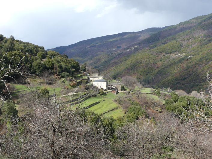
From the parking spot, walk on the road for 600 m towards the hamlet of Les Abrits, then take the path on the left and go downhill under the chestnut trees.
1) At the abandoned mas (isolated farm), walk below the ruins and follow the path.
2) Cross the small stream and, before you arrive at the second stream, leave the path and take on the right a path that goes downhill towards the Gardon de St Martin river. Walk to the Gardon.
3) Do not cross the Gardon: the path follows the béal (irrigation channel) on the right. Careful: the rocks are slippery when wet!
4) At the end of the béal, walk to the gourgue (mill pond) and climb the path to the road. At the road, turn right and continue back to the parking spot.
- Departure : On the access road to the hamlet of Les Abrits
- Arrival : On the access road to the hamlet of Les Abrits
- Towns crossed : Saint-Martin-de-Lansuscle
Forecast
Altimetric profile
Recommandations
Careful: The path alongside the Gardon river is very slippery when wet.
Make sure your equipment is appropriate for the day’s weather conditions. Remember that the weather changes quickly in the mountains. Take enough water, wear sturdy shoes and put on a hat. Please close all gates and barriers behind you.
Information desks

Office de tourisme Des Cévennes au mont Lozère
le Quai, 48220 Le Pont de Montvert sud mont-Lozère
Access and parking
From Sainte-Croix-Vallée-Française, take the D28 towards Saint-Martin-de-Lansuscle. Before you arrive at Saint-Martin-de-Lansuscle, take the road on the right towards Les Abrits. The walk starts by the side of the road after 1.2 km (see signpost).
Parking :
Calculateur d'itinéraire Lio
Utilisez le calculateur liO pour organiser votre trajet en région Occitanie.
Autres régions
Calculez votre itinéraire en Auvergne Rhône Alpes sur Oùra
Biodiversité autour de l'itinéraire
Source


Report a problem or an error
If you have found an error on this page or if you have noticed any problems during your hike, please report them to us here: