
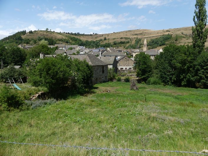
Lozeret
3 points of interest
Cubières depuis le Causse - nathalie.thomas  History
Cubières
This village, which was founded long ago, owes its name (cubereis) to the copper that the Gallo-Romans mined here. In the Middle Ages, under the protection of the local lord, villagers had to mill flour and then bake their bread in the shared bread oven, which was the property of the Seigneur du Tournel. Whenever they did so, he received a tax called the ban. This feudal right was abolished during the French Revolution, and the oven simply became the village oven.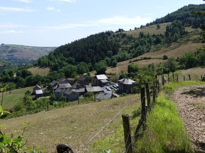
Neyrac - nathalie.thomas HistoryMule trains
You are at a crossroads; one of the tracks is the former road from Mende to Villefort, which veers off the Route des Arvènes (the Régordane) at La Maloutière (as you leave Villefort). How many mule trains – convoys of at least six laden mules – passed here over the centuries, their bells ringing! The mule drivers passing in their caravans brought life to the village and gave Cubières a look of prosperity. The village road was very commercial, aligning inns and shops.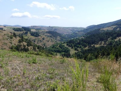
Le Rieutord - © Nathalie Thomas  Geology
The Rieutord
This brook is the Rieutord, which flows into the Altier, a tributary of the Chassezac. Amateur geologists will notice that you are here on the boundary between a limestone pocket on the right, schist (slate) on the right and granite at the summit. The three bedrocks determine the landscape and its vegetation. The limestone is a maritime memento from the Jurassic. The schist was formed in the heat of considerable depths and pushed to the surface by earthquakes during the Quaternary Period. The granite is former magma that made its way through the schist from deeper still to become the surface of Mont Lozère.
Description
Signposts will guide you all along this route, as well as yellow painted waymarks. In the description below, the signposted place names and/or directions are given in “bold italics between quotation marks”:
Starting at “Cubières”, walk to “Col Santel” via:
- “Le Réservoir”,
- “Lozeret”,
- “Le bois de Neyrac”,
- Au “Col Santel”, return to “Cubières” on the GR®44/68 via:
- "Réservoir".
This hike is taken from the guidebook Mont Lozère – Pays des sources, de la montagne du Goulet aux gorges du Bramont, published by the Pôle de pleine nature du Mont Lozère.
- Departure : Cubières
- Arrival : Cubières
- Towns crossed : Cubières
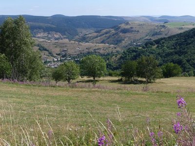
Forecast
Altimetric profile
Recommandations
Make sure your equipment is appropriate for the day’s weather conditions. Remember that the weather changes quickly in the mountains. Take enough water, wear sturdy shoes and put on a hat. Please close all gates and barriers behind you.
Information desks

Tourism office Mont-Lozère, Villefort
43, Place du Bosquet, 48800 Villefort
This office is part of the National Park's associated tourist-information network, whose mission is to provide information on, and raise awareness of, the sites and events as well as the rules that must be observed in the National Park's central zone.
Open year-round
Access and parking
From Mende, drive to Villefort on the N88 and D901; 5 km after Le Bleymard, turn right to Cubières.
Parking :
Calculateur d'itinéraire Lio
Utilisez le calculateur liO pour organiser votre trajet en région Occitanie.
Autres régions
Calculez votre itinéraire en Auvergne Rhône Alpes sur Oùra
Biodiversité autour de l'itinéraire
Source


Report a problem or an error
If you have found an error on this page or if you have noticed any problems during your hike, please report them to us here: