1. From Meyrueis to the summit of Mont Aigoual (Day 1)
4 points of interest
Cabrillac - nathalie.thomas  History
Cabrillac
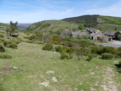
Cabrillac was located at the crossroads of the grande draille d'Aubrac (Aubrac drovers’ road) and the road from Meyrueis to Florac and St Jean du Gard. The village had about a hundred inhabitants in the 20th century and was an important and inevitable place of transit. Two fairs were held every year: one during the migration to the summer pastures in May; the other in September, during the return. For some shepherds, this was the occasion to sell the lambs that had spent the summer on the Aubrac plateau.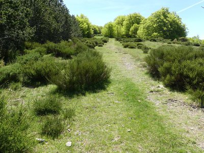
Draille de Cabrillac - nathalie.thomas AgricultureThe Aubrac drovers’ road
From Cabrillac, we follow the Aubrac drovers’ road, which started near Ganges (Hérault) to lead flocks onto the Aubrac pastures, a distance of 110 km. If you climb to the top of Mont Aigoual (2 hrs), you can visit the meteorological observatory and meet transhumant flocks. Be careful of the patous (livestock guardians).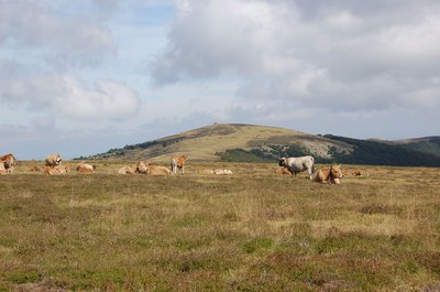
Troupeau au sommet de l'Aigoual - © Nathalie Thomas  Flora
FloraSummit of Mont Aigoual
At an altitude of 1,565 m, the climate is harsh: weather conditions are the same as they would be at 2,000 m elsewhere, with only four “frost-free” months a year. Winds of above 60 kph blow on 265 days a year, and the average annual temperature is 4.8°C. Trees do not have enough time to complete their life cycle. Local plant formations are those of the montane zone: subalpine short-grass prairies.
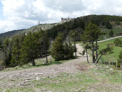
Observatoire de l'Aigoual - nathalie.thomas HistoryThe meteorological observatory
Inaugurated in 1824, the meteorological observatory was built on the initiative of Georges Fabre, one of the pioneers of the reforestation of Mont Aigoual. His work with the botanist Charles Flahault enabled the creation of the arboretum of L’Hort de Dieu. The first meteorological data were gathered by agents from the French National Water and Forestry Commission. Since 1943, the observatory has been managed by the National Meteorological Office. It is France’s last mountain weather station that is inhabited year-round.
Description
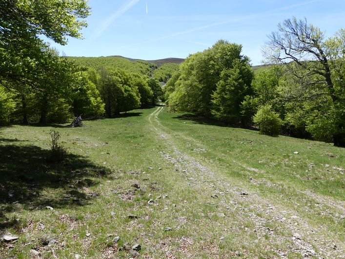
- Pass the Le Jardin des Cévennes campsite on the right and go uphill towards the Village de Vacances (holiday village). After the reservoir, you enter the woods (waymarked GR®66).
- The track goes steadily uphill to the Col del Bès pass (GR®66).
- The path descends into the Jonte valley and crosses a bridge before reaching the hamlet of Cabrillac (GR®66).
- In Cabrillac you leave the GR®66 long-distance hiking path for the GR®60, heading for the top of Mont Aigoual. Steep climb for 2 km, to Serre Ploumat. The path overlooks the RD 18 road. When you reach the RD 118 take it to the summit of Mont Aigoual.
- Departure : Meyrueis
- Arrival : Mont Aigoual
- Towns crossed : Meyrueis, Gatuzières, Rousses, Bassurels, and Val-d'Aigoual
Forecast
Altimetric profile
Recommandations
Information desks

Tourism'house and national Parc at Florac
Place de l'ancienne gare, N106, 48400 Florac-trois-rivières
This office is part of the National Park's associated tourist-information network, whose mission is to provide information on, and raise awareness of, the sites and events as well as the rules that must be observed in the National Park's central zone.
On site: exhibitions, video projections, events and shop Open year-round
Transport
July and August: Bus line "Meyrueis-Millau"
https://lio.laregion.fr/IMG/pdf/oc-1903-fhbus-48-257-3v_bd_04_.pdf
Daily year-round line: different timetables in term time than in school holidays
Line 215 Autocars Causse + 33 (0)6 65 61 24 16
Access and parking
Parking :
Calculateur d'itinéraire Lio
Utilisez le calculateur liO pour organiser votre trajet en région Occitanie.
Autres régions
Calculez votre itinéraire en Auvergne Rhône Alpes sur Oùra
Biodiversité autour de l'itinéraire
Source

Report a problem or an error
If you have found an error on this page or if you have noticed any problems during your hike, please report them to us here: