
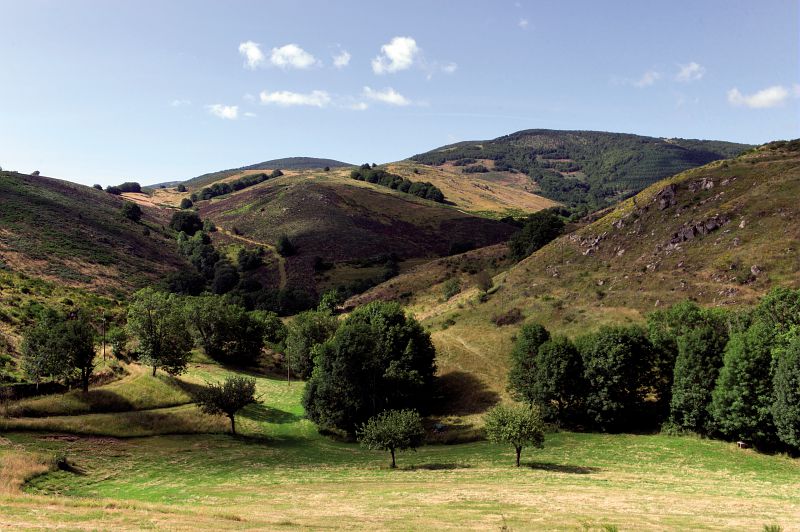
Le Serre de Pradal, MTB circuit #13 (graded blue)
This is a slightly technical route but you are sure to appreciate the views on the Causse Méjean plateau and the return to Rousses along the Tarnon river.
5 points of interest
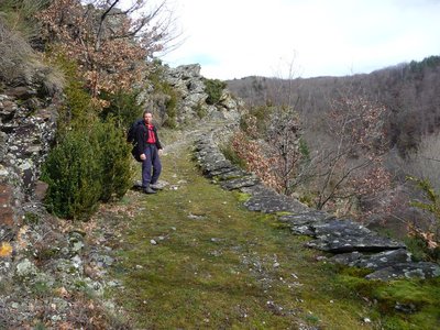
Chemin vers Le Gua - N Thomas AgricultureSmall walls and terraces
"The path, lined in places by a wall, used to lead from Rousses to Massevaques. Some locals still remember having used it to get back up to Massevaques after a wake in Rousse. At the start of the path, you can see on your left the small walls of two bancels (crop terraces), where rye was grown. Then you enter the beech forest. This slope is exposed to the north and west winds, which suits beech, but it is only in the more protected vales that you will find a few sweet chestnuts interspersed with conifers. This forest is still exploited by the inhabitants of the district, who cut their firewood here.” (P. Grime)
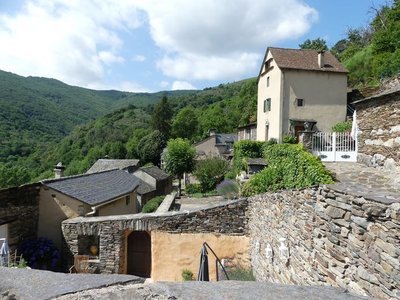
Le village des Ablatats - PnC-N Thomas  History
Les Ablatats : village of refuge
With their rugged terrain, the Cévennes became a refuge during the Second World War. About 60 Jews were hidden in Vébron and Rousses, a dozen of them in the hamlet of Les Ablats. Whilst they certainly benefited from the locals' silence, they were able to seek refuge here thanks to the mayors of the two villages, the pastors and an assistant to the prefect. Reportedly some of them were even sent directly here by the prefecture.
Le serre de Pradal - OT Gorges du Tarn Causses & Cévennes nc  Geology
Serre and valat
These Occitan words designate a jagged humpback ridge and a ditch or trench, respectively. The upland part of this circuit is on a serre.
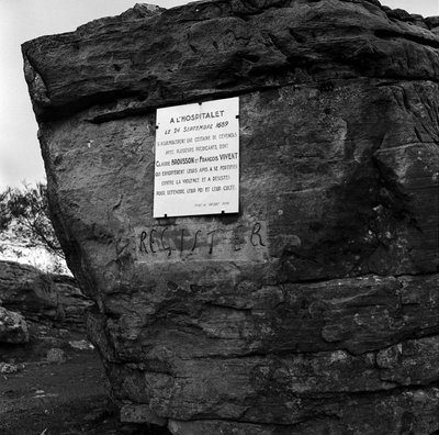
Plaque commémorative, rochers de La Can de l'Hospitalet - © Henry SALESSE / MEDDE-MLETR HistoryThe Camisards
The Tarnon valley was a significant area during the Camisard War. It sheltered the 3rd Camisard Army. Many clandestine gatherings were held here in the gloomy forests or in a cave underneath the Can de l'Hospitalet (known as Baume dolente).
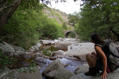
Le long du Tarnon - Nathalie Thomas  Water
WaterThe Tarnon river
The Tarnon is 38.9 km long and has its spring on the Mont Aigoual massif (Mont Aigoual: 1,565 m) in the municipality of Bassurels. It flows into the Tarn upstream of Florac, having already joined with the Mimente river. It separates the Causse Méjean plateau from the Cévennes.
Upstream of Rousses, the Trépalous flows into the Tarnon. It is this small river that has carved out the Tapoul gorge, famous for canyoning.
The Tarnon may experience violent and sudden floods during Cévenol episodes (major rain storms). Its flow rate may vary from 0.1 m3 per second (in the dry period) to 400 m3/s (November 1982).
Description
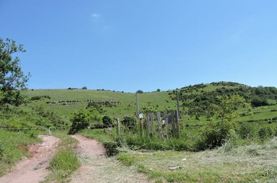
Take the road towards Massevaques, Mont Aigoual. After camping, then take the 2nd path on the right (concrete at the start it quickly becomes a track).
- Everything starts with a track, then a singletrack, that take you to Les Ablatats. The exit between the houses is a little steep.
- You then join the road that climbs to Montcamp and takes you to the route’s highest point, at an altitude of 900 metres.
- At the last hairpin bend before you get to Montcamp, take the track on your right. The descent is first on a path among fields with a view of the Causse Méjean, then enters the forest.
- At Le Gua, the return to Rousses is on a path that borders the Tarnon.
- Departure : Rousses
- Arrival : Rousses
- Towns crossed : Rousses and Fraissinet-de-Fourques
Forecast
Altimetric profile
Recommandations
Easy but somewhat technical circuit. No off-roading. You are strongly encouraged to wear a helmet. Do not forget your repair kit and a small tool kit. Close barriers and gates behind you. Slow down in farms and hamlets.
Information desks

Tourism'house and national Parc at Florac
Place de l'ancienne gare, N106, 48400 Florac-trois-rivières
This office is part of the National Park's associated tourist-information network, whose mission is to provide information on, and raise awareness of, the sites and events as well as the rules that must be observed in the National Park's central zone.
On site: exhibitions, video projections, events and shop Open year-round
Access and parking
From Florac or Meyrueis, take the D 996 to Vébron. At Vébron, take the D 907 to Rousses.
Parking :
Calculateur d'itinéraire Lio
Utilisez le calculateur liO pour organiser votre trajet en région Occitanie.
Autres régions
Calculez votre itinéraire en Auvergne Rhône Alpes sur Oùra
Biodiversité autour de l'itinéraire
Source


Report a problem or an error
If you have found an error on this page or if you have noticed any problems during your hike, please report them to us here: