
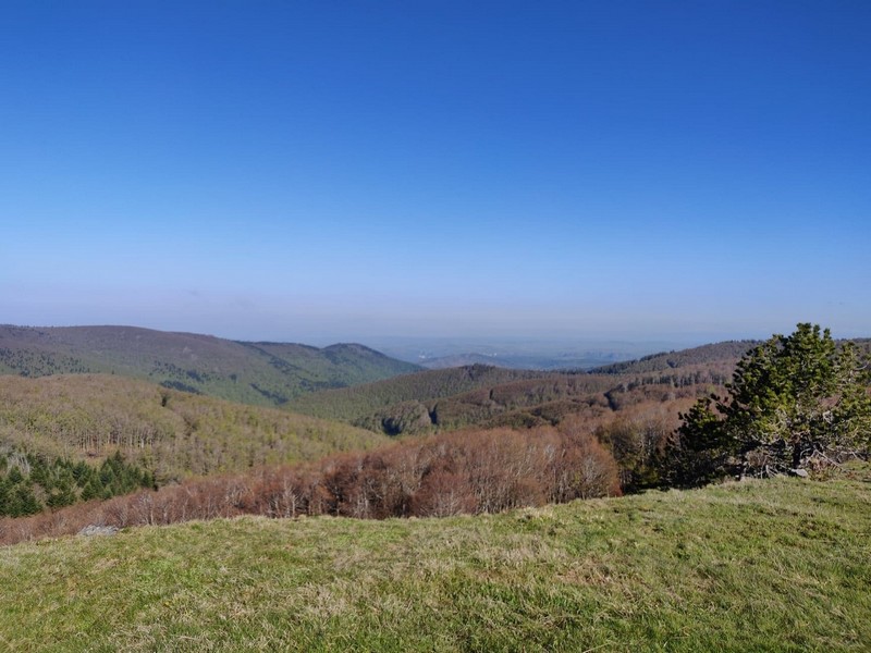
Around La Sapinière (Trail)
1 point of interest
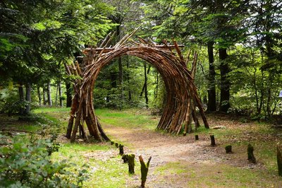
L'Orée (Yoann Crépin) - © Filature du Mazel  Know-how
On the Verge (Yoann Crépin)
A doorway to a circuit of art within the natural environment.
To fuse and interact with the environment and play with the seasons, time, light and weightlessness. To let humanity express itself through nature and nature express itself through humanity – a necessary interaction, a symbiotic interaction that inspires us to discover another world.
Description
Signposts will guide you all along this route. In the description below, the signposted place names and/or directions are given in bold italics between quotation marks :
From “Station de Prat Peyrot”, run to“La Drailhe” via:
- “Draille du Calcadis”.
- At “La Drailhe”, return to “Station de Prat Peyrot "via:
- “Le Pontet”,
- “La Baraquette”,
- “La Sapinière” and
- “Balcons de l’Aigoual – Parking”.
This trail is taken from the guidebook Massif de l’Aigoual, published by the communauté de communes Causses Aigoual Cévennes as part of the collection Espaces naturels gardois and the label Gard Pleine nature.
- Departure : Station Prat Peyrot
- Arrival : Station Prat Peyrot
- Towns crossed : Meyrueis and Val-d'Aigoual
Forecast
Altimetric profile
Recommandations
Before committing yourself to a circuit, ensure that it is suitable for your activity level and ability. Remember that the weather changes quickly in the mountains. Take enough water. Please close all gates and barriers behind you. Stay on the marked path.
Information desks

Biosphera
18, rue vincent Faita, 30480 Cendras
Transport
LiO is the regional public transport service of the Occitanie/ Pyrénées – Méditerranée region. It facilitates everyone’s movements by prioritising public transport. For more information, go to the lio Occitanie app or visit https://www.mestrajets.lio.laregion.fr
Access and parking
From Valleraugue, take the D986 to the village of L’Espérou. At the roundabout, turn right; at the Col de La Serreyrède pass, turn right onto the D269, then turn left. Car park.
Parking :
Calculateur d'itinéraire Lio
Utilisez le calculateur liO pour organiser votre trajet en région Occitanie.
Autres régions
Calculez votre itinéraire en Auvergne Rhône Alpes sur Oùra
Biodiversité autour de l'itinéraire
Source


Report a problem or an error
If you have found an error on this page or if you have noticed any problems during your hike, please report them to us here: