
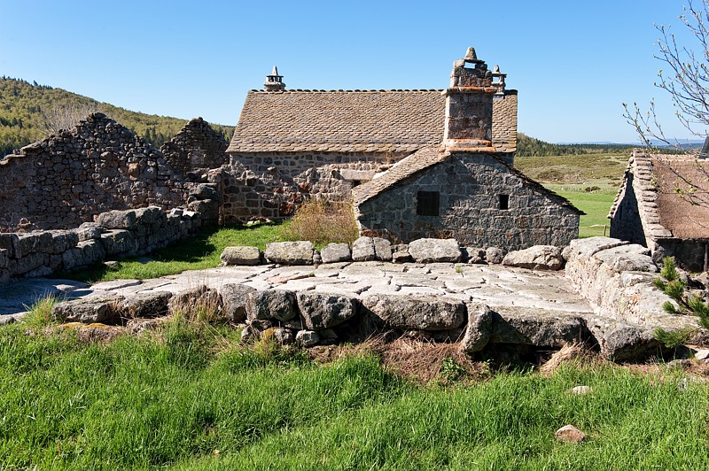
Around Pic du Cassini, MTB circuit #11 (black)
This classic loop between the upper Tarn valley and the north face of Mont Lozère is difficult because of its length.
Description
Follow the MTB markup n°11
Signposts will guide you all along this route, as well as yellow painted waymarks. In the description below, the signposted place names and/or directions are given in bold italics between quotation marks :
Two possible departure points : D1 (Mas de la Barque) or D2 (Col de Finiels)
Starting from “Mas de La Barque”, D1, take the D66 road, then continue to :
- “Lous Felzillas”,
- “Sous le chalet de l’Aigle”,
- “Chalet de l’Aigle”. Continue on the track to “Col de Finiels”, D2, via :
- “Le Grand Clapier”,
- “Route forestière”,
- “La Peyre Plantade”,
- “Louzero de Broussous”,
- “Ancienne Voie Romaine”.
- “Col de Finiels”. From the pass, go downhill on the D20 for 1.5 km, then take the track on the left to :
- “Salarial”,
- “L’Hôpital”. At “L’Hôpital”, return to “Mas de la Barque” via :
- “Prat Redoun”,
- “Pont de Camargues”,
- “Mas Camargues”,
- “Bellecoste”,
- “La Planette”,
- “Sénégrière”,
- “Martelet”. Return to “Mas de La Barque”.
This MTB circuit is taken from the guidebook Mont Lozère – Pays des sources, Sommet des Cévennes, published by the Pôle de pleine nature du Mont Lozère.
- Departure : Mas de La Barque
- Arrival : Mas de La Barque
- Towns crossed : Pont de Montvert - Sud Mont Lozère, Concoules, Pourcharesses, Altier, Cubières, Cubiérettes, and Vialas
Forecast
Altimetric profile
Recommandations
No off-roading.
Caution : There may be livestock guard dogs (patous) in the area. Seek advice on how to behave near these dogs from tourist offices and National Park information centres.
You are strongly encouraged to wear a helmet. Do not forget your repair kit and a small tool kit. Slow down in hamlets.
Information desks

Tourism'house and national Parc at Florac
Place de l'ancienne gare, N106, 48400 Florac-trois-rivières
This office is part of the National Park's associated tourist-information network, whose mission is to provide information on, and raise awareness of, the sites and events as well as the rules that must be observed in the National Park's central zone.
On site: exhibitions, video projections, events and shop Open year-round
Tourism'house and national parc, Génolhac
Place du Colombier, 30450 Génolhac
This office is part of the National Park's associated tourist-information network, whose mission is to provide information on, and raise awareness of, the sites and events as well as the rules that must be observed in the National Park's central zone.
Open from april to october
Tourism office Mont-Lozère, Villefort
43, Place du Bosquet, 48800 Villefort
This office is part of the National Park's associated tourist-information network, whose mission is to provide information on, and raise awareness of, the sites and events as well as the rules that must be observed in the National Park's central zone.
Open year-round

Le Mas de la Barque outdoor centre
48800 Villefort
This centre is part of the National Park's associated tourist-information network, whose mission is to provide information on, and raise awareness of, the sites and events as well as the rules that must be observed in the National Park's central zone.
Access and parking
From Villefort on the D66.
From Génolhac on the D362, then the D66.
Parking :
Calculateur d'itinéraire Lio
Utilisez le calculateur liO pour organiser votre trajet en région Occitanie.
Autres régions
Calculez votre itinéraire en Auvergne Rhône Alpes sur Oùra
Biodiversité autour de l'itinéraire
Source


Report a problem or an error
If you have found an error on this page or if you have noticed any problems during your hike, please report them to us here: