
Villefort Lake
On this walk around the lake you will constantly move between the past and the present.
Deep in the Cévenol valleys, you can discover the work of the hardy locals of the twentieth century. The clèdes (chestnut drying buildings) and bancels (crop terraces) bear witness to it.
The oath crosses the dam, which was inaugurated in 1964, drowning the village of Bayard.
Description
Signposts will guide you all along this route. In the description below, the signposted place names and/or directions are given in bold italics between quotation marks :
From “Lac de Villefort”, walk to :
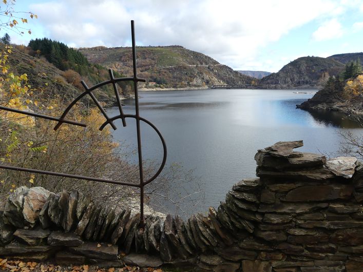
- “Promontoire du lac”,
- “Pisciculture”,
- “Rond Point du Lac”,
- “Chapelle Saint Loup”.
At “Chapelle Saint Loup”, optional detour (there-and-back) to the chapel (views, crucifix) on the Way of the Cross.
From “Chapelle Saint Loup”, return to “Lac de Villefort”.
This hike is taken from the guidebook Mont Lozère - Pays des sources de la Margeride au lac de Villefort en Cévennes published by the Pôle de pleine nature du Mont Lozère.
- Departure : Villefort Lake
- Arrival : Villefort Lake
- Towns crossed : Villefort and Pourcharesses
Forecast
Altimetric profile
Recommandations
Make sure your equipment is appropriate for the day’s weather conditions. Remember that the weather changes quickly in the mountains. Take enough water, wear sturdy shoes and put on a hat. Please close any gates and barriers behind you.
Information desks

Tourism'house and national parc, Génolhac
Place du Colombier, 30450 Génolhac
This office is part of the National Park's associated tourist-information network, whose mission is to provide information on, and raise awareness of, the sites and events as well as the rules that must be observed in the National Park's central zone.
Open from april to october

Tourism office Mont-Lozère, Bagnols-les-Bains
avenue de la gare, 48190 Bagnols-les-Bains Mont-Lozere et Goulet
This office is part of the National Park's associated tourist-information network, whose mission is to provide information on, and raise awareness of, the sites and events as well as the rules that must be observed in the National Park's central zone. Open from mid-April to late September

Place de l'église - Le Bleymard, 48190 Mont Lozère et Goulet

Tourism office Mont-Lozère, Villefort
43, Place du Bosquet, 48800 Villefort
This office is part of the National Park's associated tourist-information network, whose mission is to provide information on, and raise awareness of, the sites and events as well as the rules that must be observed in the National Park's central zone.
Open year-round
Transport
This hike is accessible by public transport only in summer.
To consult the updated schedules and plan your trip, use the route calculator below by entering the arrival stop : VILLEFORT - Plage du Lac
SNCF train line Nîmes-Clermont-Ferrand
In July and August, LiO tourist shuttle, line 254 Mende > Villefort > La Garde-Guérin. Stop : "Plage du lac" [Lake beach].
LiO is the regional public transport service of the Occitanie/ Pyrénées – Méditerranée region. It facilitates everyone’s movements by prioritising public transport. For more information, go to the lio Occitanie app or visit : https://www.mestrajets.lio.laregion.fr
(in term time)
Access and parking
From Villefort on the D906 (5 minutes)
From Génolhac on the D906 (25 minutes)
From Prévenchères on the D906 (15 minutes)
From Les Vans on the D901 and D906 (35 minutes)
From Mende on the D901 and D906 (60 minutes)
Parking :
Calculateur d'itinéraire Lio
Utilisez le calculateur liO pour organiser votre trajet en région Occitanie.
Autres régions
Calculez votre itinéraire en Auvergne Rhône Alpes sur Oùra
Biodiversité autour de l'itinéraire
Source


Report a problem or an error
If you have found an error on this page or if you have noticed any problems during your hike, please report them to us here: