
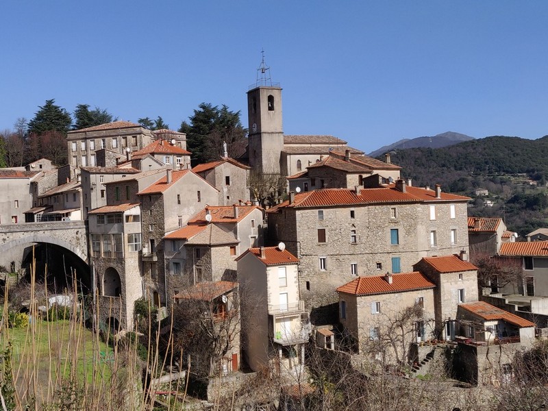
Valleraugue - Road bike circuit #7
The first kilometres to Le Mazel are a pleasant warm-up, followed by a beautiful road to Saint-André-de-Majencoules and Mandagout. Then things spice up, with the passes of Col des Vieilles pass and the famous Col de La Luzette (altitude 1,351 m), where even five-times Tour de France winner Bernard Hinault had to dismount !
Another small effort to L'Espérou before the downhill section to Valleraugue.
Description
From Valleraugue, bike towards Le Vigan on the D986.
- At Le Mazel, take the D170 to Saint-André-de-Majencoules.
- After St-André-de-Majencoules, at Les Quatre Chemins, take the D354.
- Then take the D329 to Mandagout.
- At Mandagout, continue on the D329 to L’Espérou via Cap-de-Côte and the Col de La Luzette.
- Continue to L’Espérou on the D548 and go downhill to Valleraugue on the D986.
- Departure : Valleraugue
- Arrival : Valleraugue
- Towns crossed : Val-d'Aigoual, Saint-André-de-Majencoules, Mandagout, Arphy, and Dourbies
Forecast
Altimetric profile
Recommandations
Before committing yourself to a circuit, ensure that it is suitable for your activity level and ability. Respect traffic laws and other road users; stay in control of your speed and trajectory. Make sure to be seen and travel in single file when in a group. Remember that the weather changes quickly in the mountains. Take enough water. Safe trip !
Information desks

Tourism & national parc'house
Col de la Serreyrède, 30570 Val d'Aigoual
The Maison de l'Aigoual houses the tourism office Mont Aigoual Causses Cévennes and the Maison du Parc national. This visitor centre provides information on and raises awareness of the Cévennes National Park, its sites and events as well as the rules that must be observed in the National Park's central zone.
On site: changing exhibitions, video projections, Festival Nature events and shop Open year-round

Tourism office Mont Aigoual Causses Cévennes, Valleraugue
7 quartier des Horts, 30570 Valleraugue
This office is part of the National Park's associated tourist-information network, whose mission is to provide information on, and raise awareness of, the sites and events as well as the rules that must be observed in the National Park's central zone. : Open year-round
Access and parking
From Camprieu or Le Pont d’Hérault, take the D986 to Valleraugue.
Parking :
Calculateur d'itinéraire Lio
Utilisez le calculateur liO pour organiser votre trajet en région Occitanie.
Autres régions
Calculez votre itinéraire en Auvergne Rhône Alpes sur Oùra
Biodiversité autour de l'itinéraire
Source


Report a problem or an error
If you have found an error on this page or if you have noticed any problems during your hike, please report them to us here: