
The old mill
On the square with the pretty fountain, you’ll find a traditional shoeing trevis, once used to shoe cows and oxen. One of the rare spots where the river Lot takes a marked and wild turn as it abruptly enters granite bedrock.
Description
Signposts will guide you all along this route, as well as yellow painted waymarks. In the description below, the signposted place names and/or directions are given in bold italics between quotation marks :
Starting at “Chadenet”, walk to :
- “Lou Claoux”,
- “Carapasse”,
- “Village”, then return to “Lou Claoux”, “Chadenet”.
This hike is taken from the guidebook Mont Lozère – Pays des sources, de la montagne du Goulet aux gorges du Bramont, published by the Pôle de pleine nature du Mont Lozère.
- Departure : Mairie (town hall) in Chadenet
- Arrival : Mairie (town hall) in Chadenet
- Towns crossed : Chadenet
Forecast
Altimetric profile
Recommandations
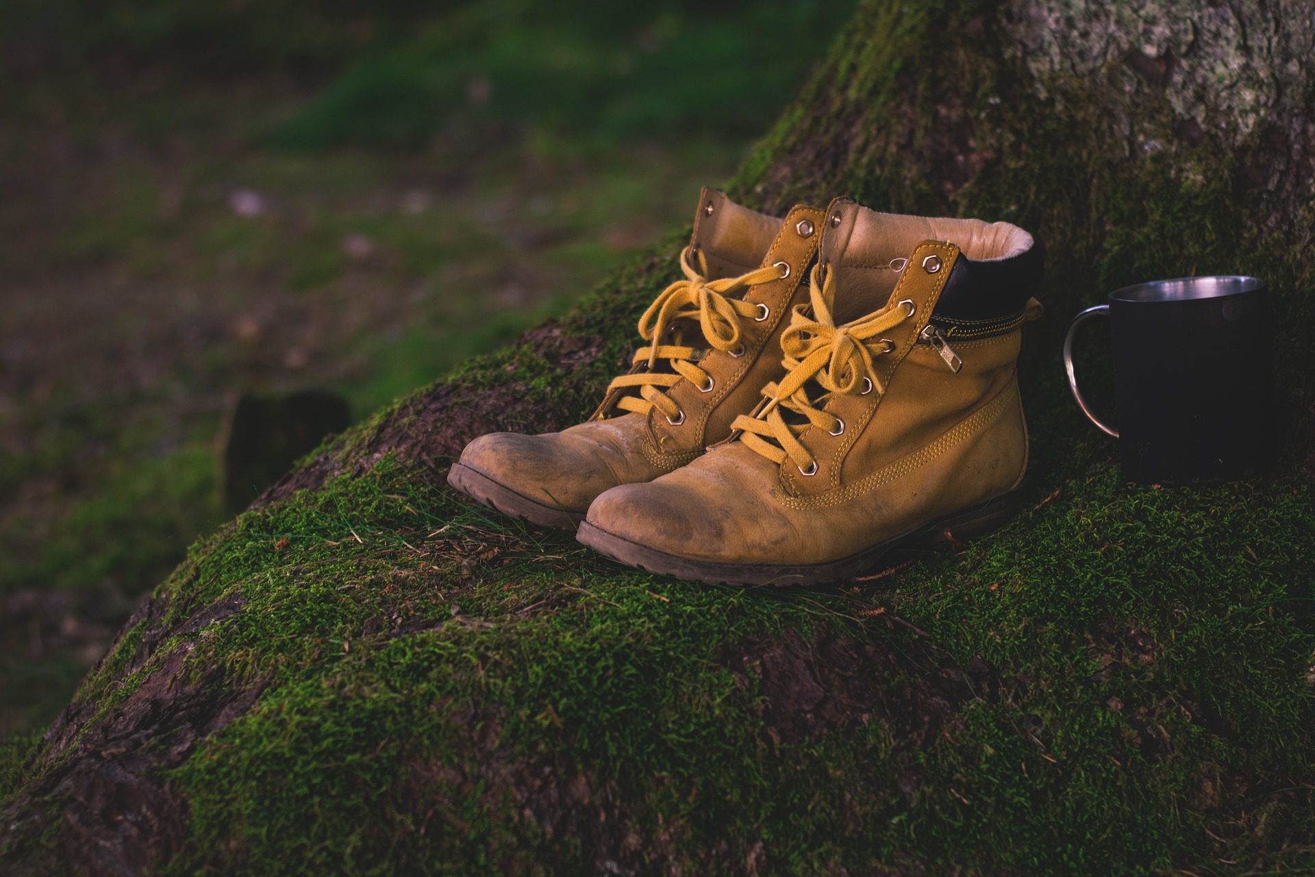
Make sure your equipment is appropriate for the day’s weather conditions. Remember that the weather changes quickly in the mountains. Take enough water, wear sturdy shoes and put on a hat. Please close any gates and barriers behind you.
Information desks

Tourism office Mont-Lozère, Bagnols-les-Bains
avenue de la gare, 48190 Bagnols-les-Bains Mont-Lozere et Goulet
This office is part of the National Park's associated tourist-information network, whose mission is to provide information on, and raise awareness of, the sites and events as well as the rules that must be observed in the National Park's central zone. Open from mid-April to late September

Place de l'église - Le Bleymard, 48190 Mont Lozère et Goulet

Tourism office Mont-Lozère, Villefort
43, Place du Bosquet, 48800 Villefort
This office is part of the National Park's associated tourist-information network, whose mission is to provide information on, and raise awareness of, the sites and events as well as the rules that must be observed in the National Park's central zone.
Open year-round
Transport
This hike is accessible by public transport.
To consult the updated schedules and plan your trip, use the route calculator below by entering the arrival stop : CHADENET - Chadenet Village
LiO is the regional public transport service of the Occitanie/ Pyrénées – Méditerranée region. It facilitates everyone’s movements by prioritising public transport. For more information, go to the lio Occitanie app or visit : https://www.mestrajets.lio.laregion.fr
(in term time)
Coach line LiO 282 Mende > La Bastide > Langogne > Le Puy-en-Velay
Access and parking
From Mende, drive to Badaroux on the N88, then towards Bagnols-les-Bains on the D901. Well before Bagnols-les-Bains, turn left onto the D27 to Chadenet.
From Villefort, drive to Bleymard on the D901, then to Mende. About 1.5km after Bagnols-les-Bains, turn right onto the D27 to Chadenet.
Parking :
Calculateur d'itinéraire Lio
Utilisez le calculateur liO pour organiser votre trajet en région Occitanie.
Autres régions
Calculez votre itinéraire en Auvergne Rhône Alpes sur Oùra
Biodiversité autour de l'itinéraire
Source


Report a problem or an error
If you have found an error on this page or if you have noticed any problems during your hike, please report them to us here: