
Pelloufet Woods
Hike through open fields and dense forests while cows watch, or discover more about stags’ antlers. Find out what spun wool and beechnuts were used for. Discover who was born and grew up in Cubières and Cubiérettes.
Description
Signposts will guide you all along this route, as well as yellow painted waymarks. In the description below, the signposted place names and/or directions are given in bold italics between quotation marks :
Starting from “CUBIÉRETTES” walk to :
- “Village”. At “Village”, head left to :
- “Las Fouons”. At “Las Fouons”, go left to :
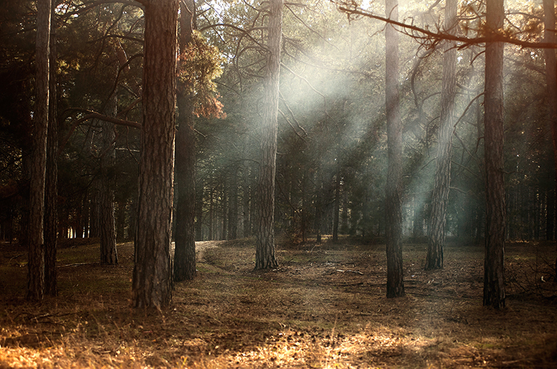
- “BOIS DU MATHIEU”. At “BOIS DU MATHIEU”, go right to :
- “Pelloufet” then :
- “Croix de Pelloufet”. At “Croix de Pelloufet”, go right to return to “CUBIÉRETTES” via :
- “Lou Coumbalio”,
- “Village”. At “CUBIÉRETTES”, optional detour (there-and-back) to the Pont du Broussous bridge.
This hike is taken from the guidebook Mont Lozère – Pays des sources, de la montagne du Goulet aux gorges du Bramont, published by the Pôle de pleine nature du Mont Lozère.
- Departure : Cubiérettes
- Arrival : Cubiérettes
- Towns crossed : Cubiérettes and Cubières
Forecast
Altimetric profile
Recommandations
Make sure your equipment is appropriate for the day’s weather conditions. Remember that the weather changes quickly in the mountains. Take enough water, wear sturdy shoes and put on a hat. Please close any gates and barriers behind you.
Information desks

Tourism office Mont-Lozère, Bagnols-les-Bains
avenue de la gare, 48190 Bagnols-les-Bains Mont-Lozere et Goulet
This office is part of the National Park's associated tourist-information network, whose mission is to provide information on, and raise awareness of, the sites and events as well as the rules that must be observed in the National Park's central zone. Open from mid-April to late September

Tourism office Mont-Lozère, Villefort
43, Place du Bosquet, 48800 Villefort
This office is part of the National Park's associated tourist-information network, whose mission is to provide information on, and raise awareness of, the sites and events as well as the rules that must be observed in the National Park's central zone.
Open year-round
Access and parking
From Villefort towards Le Bleymard on the D901; 16 km after Altier, turn left to Cubièrettes. (30 mins)
From Mende towards Villefort on the N88, then the D901; 5 km after Le Bleymard, turn right to Cubièrettes. (40 mins)
Parking :
Calculateur d'itinéraire Lio
Utilisez le calculateur liO pour organiser votre trajet en région Occitanie.
Autres régions
Calculez votre itinéraire en Auvergne Rhône Alpes sur Oùra
Biodiversité autour de l'itinéraire
Source


Report a problem or an error
If you have found an error on this page or if you have noticed any problems during your hike, please report them to us here: