
The mill path
1 point of interest
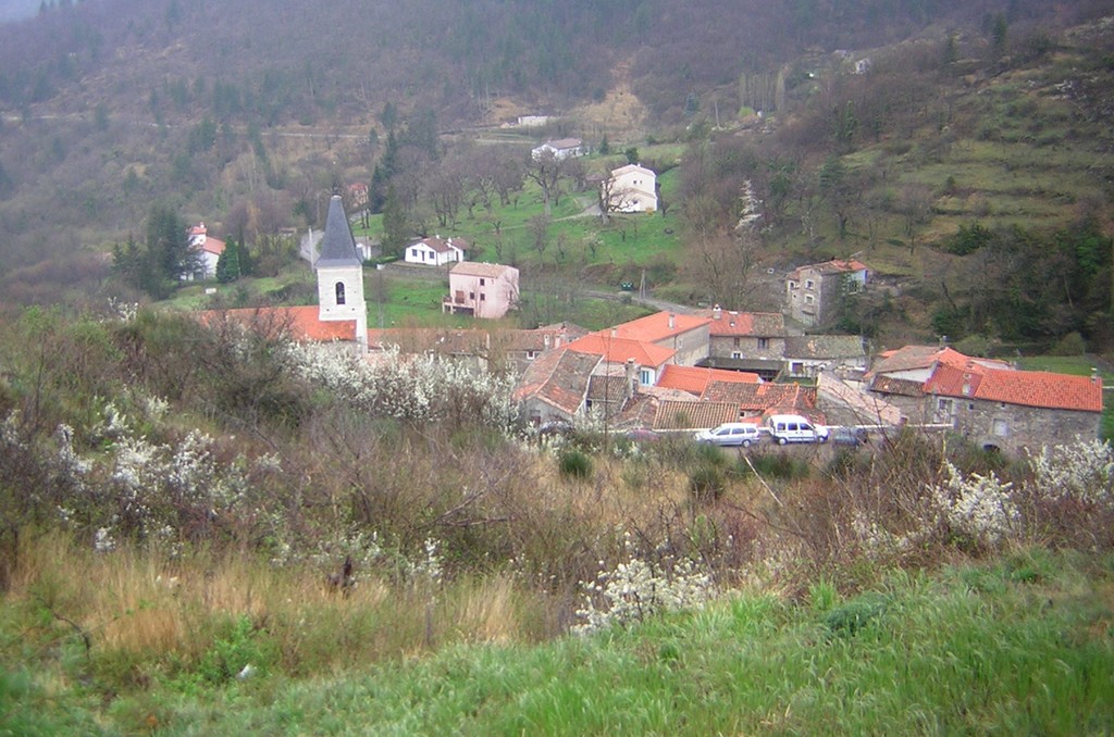
Vue sur Aumessas - © Nathalie Thomas  History
Arrigas
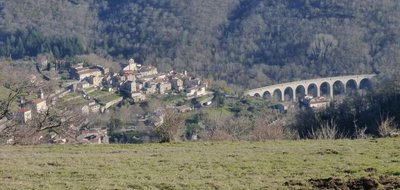
In the 19th century, the copper mines were the valley's biggest employer. They closed in the early 20th century, bringing about the economic decline of Arrigas. The trays for washing the ore can still be seen alongside the D 189, as you leave the village towards Peyraube. The railway did not bring the hoped-for prosperity since, for technical reasons, no station could be built at Arrigas. To take the train, one had to walk to the neighbouring village of Aumessas. (Jérome Reversat)
Description
Signposts will guide you all along this route. In the description below, the signposted place names and/or directions are given in bold italics between quotation marks :
Starting from "ARRIGAS", direction :
- "Arrigas-Mairie". Then right from the townhall direction :
- “La Coste”
- Follow “Chantemerle”, then :
- "LE CROUZET". Turn left and then direction :
- “LEMBRUSQUIERE - HAUT”
- “LEMBRUSQUIERE”
- Continue to “LES TROIS PONTS”, then return to “ARRIGAS” via :
- “La Bruyère” and “Arrigas – Mairie”.
This walk is taken from the guidebook Les Vallées Cévenoles - En Pays Viganais, published by the Communauté de communes Pays Viganais-Cévennes as part of the collection Espaces Naturels Gardois and the label Gard Pleine Nature.
- Departure : Arrigas
- Arrival : Arrigas
- Towns crossed : Arrigas
Forecast
Altimetric profile
Recommandations
Make sure your equipment is appropriate for the day’s weather conditions. Take enough water, wear sturdy shoes and put on a hat. Please close any gates and barriers behind you.
Information desks

Tourism office Cévennes and Navacelles, Le Vigan
Maison de pays, place du Marché, BP 21, 30120 Le Vigan
This office is part of the National Park's associated tourist-information network, whose mission is to provide information on, and raise awareness of, the sites and events as well as the rules that must be observed in the National Park's central zone.
Open year-round
Transport
Alés - Le Vigan ligne 142
Nîmes - Le Vigan ligne 140
Montpellier - Le Vigan ligne 608
le Vigan - Campestre et Luc ligne 101 (Saturdays only)
LIO Région Occitanie - https://lio.laregion.fr/
Access and parking
From Alés or Nîmes take the D999 to Le Vigan then Arre, then the D189 to Arrigas
Parking :
Calculateur d'itinéraire Lio
Utilisez le calculateur liO pour organiser votre trajet en région Occitanie.
Autres régions
Calculez votre itinéraire en Auvergne Rhône Alpes sur Oùra
Biodiversité autour de l'itinéraire
Source


Report a problem or an error
If you have found an error on this page or if you have noticed any problems during your hike, please report them to us here: