
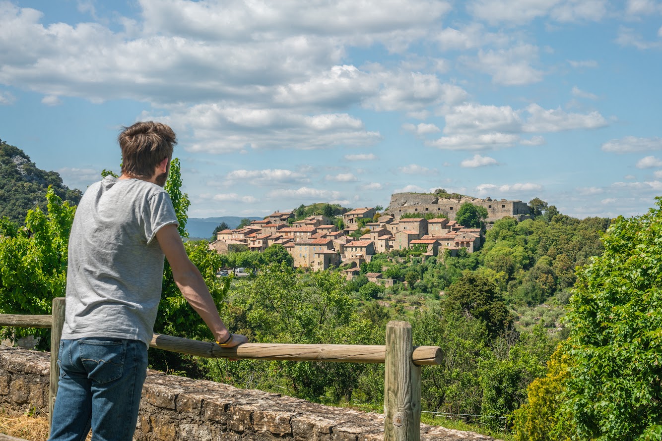
Banne
The Orcières geological faultline on this route gives the scenery a striking contrast. The juxtaposition of limestone and sandstone along the fault explains the differences in relief and vegetation that you will see as you walk from Banne to Le Mazel.
Description
Signposts will guide you all along this route. In the description below, the signposted place names and/or directions are given in bold italics between quotation marks :
From the car park at the point information tourism walk to :
- “Place de l’école”, then follow “Place du Fort 0,2 km”.
- From “Place du Fort”, go to “Place de l'Eglise” via “Le Ranquet 1,1 km” (PR)
- From the signpost for “Cimetière”, follow “Place de l'Eglise 0,2 km” (PR).
- From “Place de l'Eglise”, continue to “Montgros” via “l'Ozide 2 km”. The path goes uphill between two low walls into an old chestnut grove, now partly taken over by maritime pines. At the cross, go left to an intersection of three tracks.
- At “Montgros”, walk to “Le Mazel 1 km” (GR). Take the path on the right that starts near the concrete electricity pylon. 250 m further on, turn left then continue straight. The path goes downhill to a small road. Turn right onto it to reach the hamlet of Le Mazel.
- At “Le Mazel”, follow “Place de l'Ecole 1,8 km” (GR, PR) to return to the car park that you started from.
- Departure : Car park at the school, Banne
- Arrival : Car park at the school, Banne
- Towns crossed : Banne
Forecast
Altimetric profile
Recommandations
Make sure your equipment is appropriate for the day’s weather conditions. Remember that the weather changes quickly in the mountains. Take enough water, wear sturdy shoes and put on a hat. Please close any gates and barriers behind you.
Map IGN 2839OT
Information desks

Tourism office Cévennes d'Ardèche, Les Vans
Place Ollier, 07140 Les Vans
This office is part of the National Park's associated tourist-information network, whose mission is to provide information on, and raise awareness of, the sites and events as well as the rules that must be observed in the National Park's central zone.
Open year-round
Transport
Please limit car use. Think public transport and car-sharing instead. All public transport can be found at https://www.laregionvoustransporte.fr/
Access and parking
From Les Vans (10 km) or Joyeuse (21 km), drive towards Alès. Then follow signs to Banne.
Parking :
Calculateur d'itinéraire Lio
Utilisez le calculateur liO pour organiser votre trajet en région Occitanie.
Autres régions
Calculez votre itinéraire en Auvergne Rhône Alpes sur Oùra
Biodiversité autour de l'itinéraire
Source

Report a problem or an error
If you have found an error on this page or if you have noticed any problems during your hike, please report them to us here: