
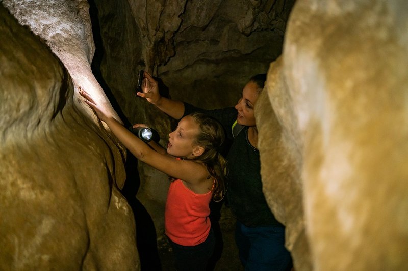
The fox’s cave
This short walk of under 2 km has all the fun kids could ask for: open spaces, rocky blocks for playing hide-and-seek and a proper small cave to explore like adventurers! Adults will enjoy themselves too with extraordinary views of the Chassezac, an exceptional rocky landscape at the heart of the Bois de Païolive, and (last but not least) shade !
Description
Signposts will guide you all along this route, as well as yellow painted waymarks. In the description below, the signposted place names and/or directions are given in bold italics between quotation marks :
- L'Agachou - follow “le Moulinas 0,6 km” (green and yellow waymarks).
- “Le Moulinas” – follow “Grotte du Renard 0,4 km” (green waymarks).
- Departure : Berrias-et-Casteljau
- Arrival : Berrias-et-Casteljau
- Towns crossed : Berrias-et-Casteljau
Forecast
Altimetric profile
Recommandations
This walk, while in the “easy” category, is rocky and steep in parts and slippery when wet. You must have appropriate footwear.
Make sure your equipment is appropriate for the day’s weather conditions. Remember that the weather changes quickly in the mountains. Take enough water, wear sturdy shoes and put on a hat. Please close any gates and barriers behind you.
You must stay on the waymarked paths to preserve this fragile environment, which is a protected site of the European network Natura 2000 and a sensitive natural space.
Information desks

Tourism office Cévennes d'Ardèche, Les Vans
Place Ollier, 07140 Les Vans
This office is part of the National Park's associated tourist-information network, whose mission is to provide information on, and raise awareness of, the sites and events as well as the rules that must be observed in the National Park's central zone.
Open year-round
Access and parking
From Les Vans (8 km), drive towards Aubenas on the D104A. At the crossroads, turn right onto the D452 towards Belambra.
From Joyeuse (20 km), drive towards Alès. At the crossroads, continue left on the D452 towards Belambra.
L'Agachou car park is on the right of the road.
Parking :
Calculateur d'itinéraire Lio
Utilisez le calculateur liO pour organiser votre trajet en région Occitanie.
Autres régions
Calculez votre itinéraire en Auvergne Rhône Alpes sur Oùra
Biodiversité autour de l'itinéraire
Source

Report a problem or an error
If you have found an error on this page or if you have noticed any problems during your hike, please report them to us here: