
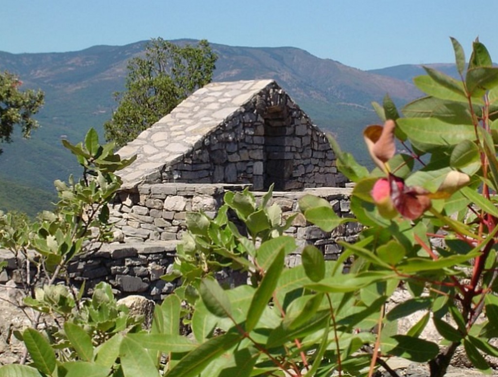
The ridge
Description
Signposts will guide you all along this route. In the description below, the signposted place names and/or directions are given in bold italics between quotation marks :
Starting from "Sumène – Av. de la Gare", walk to “Cap de Coste” via:
- “Sumène – Pont Grand” and
- “Sumène - Rue du Coin”.
- At "Cap de Coste", return to “Sumène - Av. de la gare” via:
- “Le Serre”. Then return at “Sumène – Rue du Coin” (2) and “Sumène - Pont Grand” (1).
This walk is taken from the guidebook Autour de Ganges et Sumène published by the Communauté de Communes des Cévennes Gangeoises et Suménoises as part of the collection Espaces Naturels Gardois et Héraultais.
- Departure : Sumène - Avenue de la Gare
- Arrival : Sumène - Avenue de la Gare
- Towns crossed : Sumène and Saint-Julien-de-la-Nef
Forecast
Altimetric profile
Recommandations
Make sure your equipment is appropriate for the day’s weather conditions. Take enough water, wear sturdy shoes and put on a hat.
Information desks

Tourism office Cévennes méditerranée, Ganges
Avenue du Mont Aigoual, 34190 Ganges
This office is part of the National Park's associated tourist-information network, whose mission is to provide information on, and raise awareness of, the sites and events as well as the rules that must be observed in the National Park's central zone. Open year-round

Tourism office Cévennes and Navacelles, Le Vigan
Maison de pays, place du Marché, BP 21, 30120 Le Vigan
This office is part of the National Park's associated tourist-information network, whose mission is to provide information on, and raise awareness of, the sites and events as well as the rules that must be observed in the National Park's central zone.
Open year-round
Transport
Alès ligne 142
Nîmes ligne 140
Montpellier ligne 608
Ganges – Sumène ligne 102
LIO Région Occitanie – https://lio.laregion.fr
Access and parking
From Alès or Nîmes to Ganges on the N106 and D999. From Ganges to Sumène on the D4 and D11.
From Montpellier to Ganges on the D986, then to Sumène on the D4 and D11.
Parking :
Calculateur d'itinéraire Lio
Utilisez le calculateur liO pour organiser votre trajet en région Occitanie.
Autres régions
Calculez votre itinéraire en Auvergne Rhône Alpes sur Oùra
Biodiversité autour de l'itinéraire
Source


Report a problem or an error
If you have found an error on this page or if you have noticed any problems during your hike, please report them to us here: