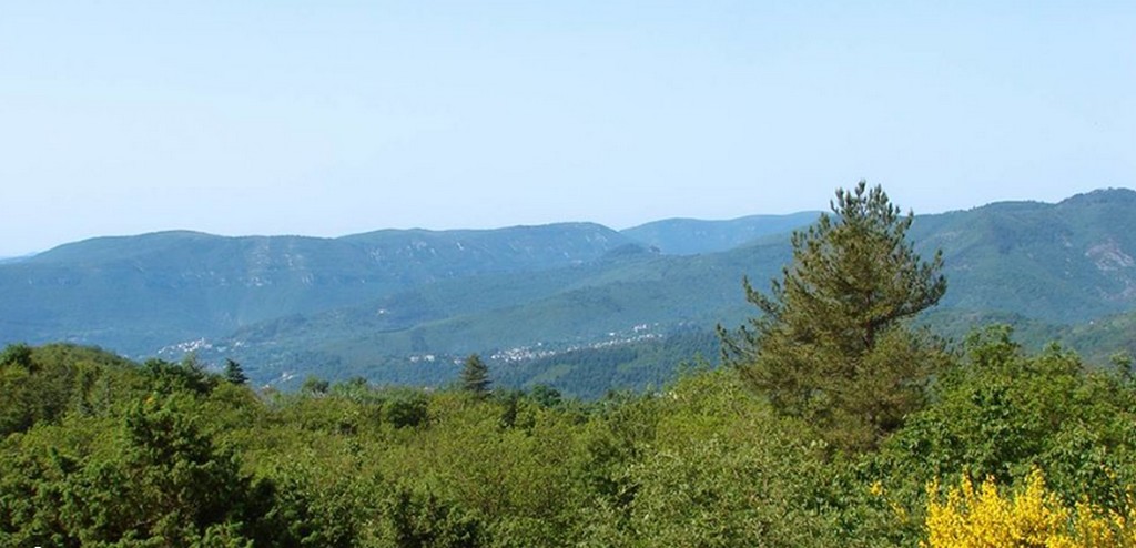
Towards the Col des Mourèzes pass
Description
Signposts will guide you all along this route. In the description below, the signposted place names and/or directions are given in bold italics between quotation marks :
Starting at the car park at "LE VIGAN", via:
- "Mas de Régis",
- “Station de pompage”,
- "LE COL DE MOUREZES",Continue to :
- “Le Puech du Sabot”,
- “Les Olivettes”,
- “LE FRAISSINET”. Return to the car park via:
- “Les Plos”,
- “Aqueduc”,
- "Vieux Pont”,
- “Château d'Assas”.
This walk is taken from the guidebook Les Vallées Cévenoles - En Pays Viganais, published by the Communauté de communes Pays Viganais-Cévennes as part of the collection Espaces Naturels Gardois and the label Gard Pleine Nature.
- Departure : Le Vigan, Mairie (town hall)
- Arrival : Le Vigan, Mairie (town hall)
- Towns crossed : Le Vigan and Mandagout
Forecast
Altimetric profile
Recommandations
Make sure your equipment is appropriate for the day’s weather conditions. Take enough water, wear sturdy shoes and put on a hat. Dogs must be kept on a leash.
Information desks

Tourism office Cévennes and Navacelles, Le Vigan
Maison de pays, place du Marché, BP 21, 30120 Le Vigan
This office is part of the National Park's associated tourist-information network, whose mission is to provide information on, and raise awareness of, the sites and events as well as the rules that must be observed in the National Park's central zone.
Open year-round
Transport
This hike is accessible by public transport.
To consult the updated schedules and plan your trip, use the route calculator below by entering the arrival stop : LE VIGAN - Community of Communes
LIO Occitanie region - https://lio.laregion.fr/
Access and parking
From Alés or Nîmes, take the D999 to Le Vigan
Parking :
Calculateur d'itinéraire Lio
Utilisez le calculateur liO pour organiser votre trajet en région Occitanie.
Autres régions
Calculez votre itinéraire en Auvergne Rhône Alpes sur Oùra
Biodiversité autour de l'itinéraire
Source


Report a problem or an error
If you have found an error on this page or if you have noticed any problems during your hike, please report them to us here: