
Filters
228 results

228 results found
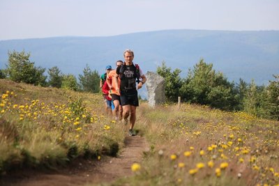
Hiking on foot
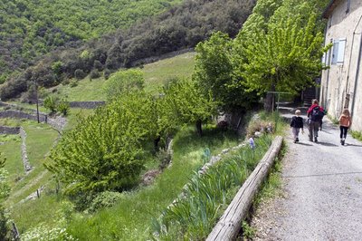
Soudorgues
Mauripe
Agriculture and livestock farming
History and culture
- Medium
- 2h30
- 6,9km
- +400m
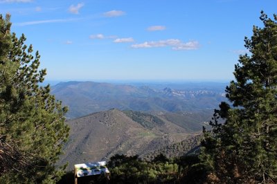
Hiking on foot
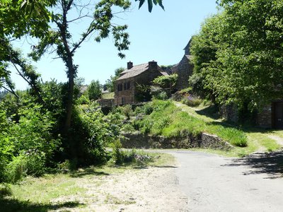
Ventalon en Cévennes
Mill Trail
Agriculture and livestock farming
Fauna and flora
- Medium
- 3h
- 9,1km
- +639m
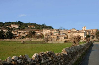
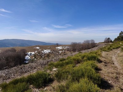
Discovery trails
Monoblet
Monoblet: the botanical path
Fauna and flora
- Easy
- 2h
- 4,4km
- +148m
Loading