
Filters
61 results

61 results found
Hiking on foot
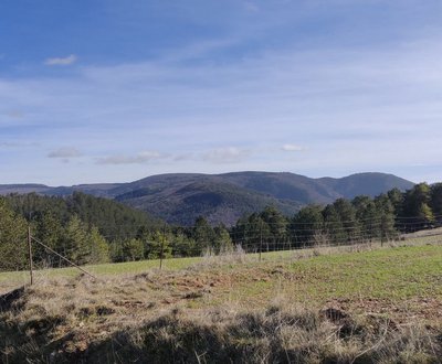
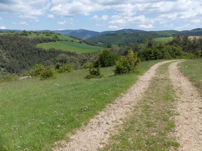
Lanuéjols
The fox trail
Architecture and village
Water and geology
- Very easy
- 2h30
- 9,1km
- +322m
Discovery trails
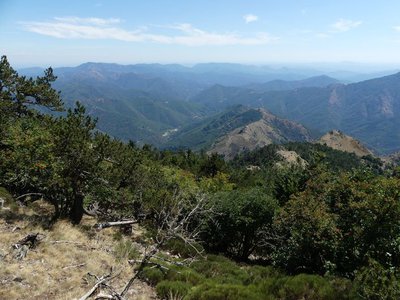
Val-d'Aigoual
The Hérault waterfalls - short
Water and geology
Fauna and flora
- Easy
- 2h
- 3,3km
- +202m
Hiking on foot
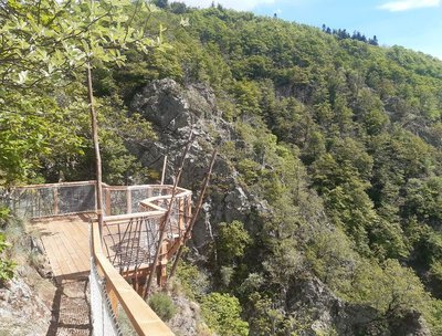
Saint-Germain-de-Calberte
The Rocks of Galta
Water and geology
History and culture
- Medium
- 2h30
- 5,4km
- +229m
Hiking on foot
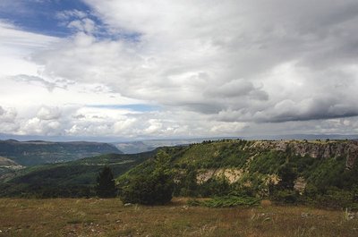
Gorges du Tarn Causses
The Saint-Guilhem-le-Désert trail
Architecture and village
Causses and Cévennes / UNESCO
Fauna and flora
History and culture
- Medium
- 4j
- 81,3km
- +2515m
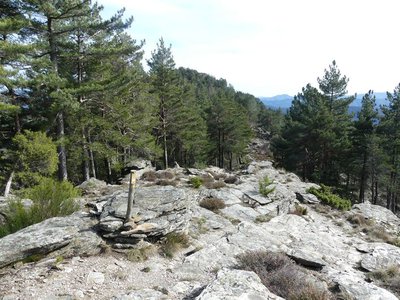
Hiking on foot
Val-d'Aigoual
The standing stone of Trépaloup
Fauna and flora
History and culture
- Easy
- 1h
- 2,3km
- +87m
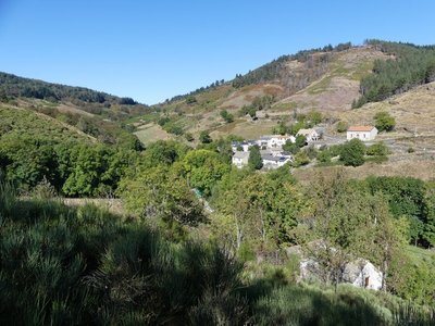
Hiking on foot
Meyrueis
The two farms of the Causse Noir
Architecture and village
Fauna and flora
- Medium
- 3h30
- 10,4km
- +409m
Loading