5. From Le Vigan to Mont Aigoual – Day 5
1 point of interest
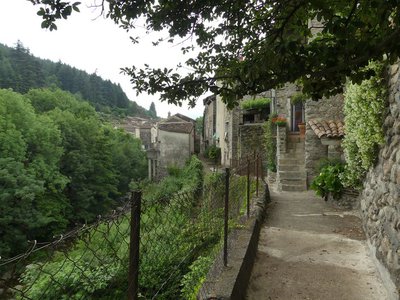
Le village d'Aulas - Nathalie Thomas  History
The village of Aulas
In the old days, the Place de l’Airette was where the wheat was thrashed. The village’s two fountains – on the Place de l'Airette and on the church square – were created on the initiative of the village council in 1887. They were almost removed when the houses were connected to mains water but were preserved by the support of certain councillors. Aulas was called Aulacio in 1001, from the Latin man’s name Aulas. In the 14th century, the village was fortified due to the many groups of brigands in the area. The ramparts were bordered by ditches and had gates. One of them, La Poterne, can still be seen. The village has remained picturesque thanks to its narrow lanes, its covered passage and its old buildings.
Description
Signposts will guide you all along this route. In the description below, the signposted place names and/or directions are given in bold italics between quotation marks :
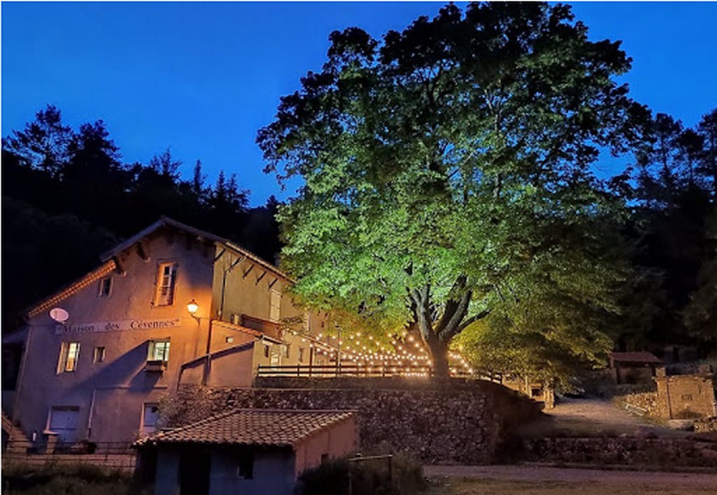
- Starting at Maison des Cévennes "PUECHAGUT", walk towards "Les Perriers" to reach "PRATCOUSTALS" (GR7 long-distance hiking path).
- At “PRATCOUSTAL”, continue on the GR®7 towards “Carnieu”.
- Continue to “Aulas-Temple”, “Quartier du Pont” and “AULAS”,
- At “AULAS” walk to “Les quatre chemins”, “Les Calquières”, “Château d’Assas”, “LE VIGAN”.
- Departure : Puechagut
- Arrival : Le Vigan
- Towns crossed : Bréau-Mars, Arphy, Aulas, Le Vigan, and Avèze
Forecast
Altimetric profile
Recommandations
Make sure your equipment is appropriate for the day’s weather conditions. Remember that the weather changes quickly in the mountains. Take enough water, wear sturdy shoes and put on a hat.
Information desks

Tourism office Cévennes and Navacelles, Le Vigan
Maison de pays, place du Marché, BP 21, 30120 Le Vigan
This office is part of the National Park's associated tourist-information network, whose mission is to provide information on, and raise awareness of, the sites and events as well as the rules that must be observed in the National Park's central zone.
Open year-round
Calculateur d'itinéraire Lio
Utilisez le calculateur liO pour organiser votre trajet en région Occitanie.
Autres régions
Calculez votre itinéraire en Auvergne Rhône Alpes sur Oùra
Biodiversité autour de l'itinéraire
Source

Report a problem or an error
If you have found an error on this page or if you have noticed any problems during your hike, please report them to us here: