
Filters
61 results

61 results found
Hiking on foot
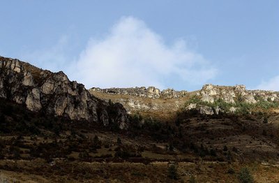
Meyrueis
Pauparelle
Fauna and flora
History and culture
- Medium
- 4h
- 11,9km
- +459m
Hiking on foot
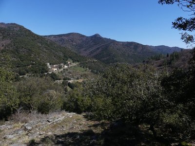
Saint-André-de-Valborgne
Pont Marès
Agriculture and livestock farming
Architecture and village
Forest
- Medium
- 3h30
- 9,4km
- +579m
Hiking on foot
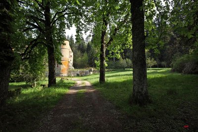
Meyrueis
Roquedols Castle
Architecture and village
History and culture
- Easy
- 1h30
- 5,2km
- +144m
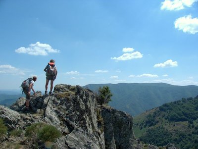
Hiking on foot
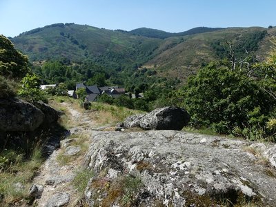
Dourbies
Saint-Guiral
History and culture
- Difficult
- 6h
- 18km
- +742m
Discovery trails
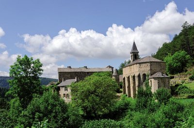
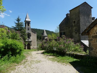
Saint-Sauveur-Camprieu
Saint Sauveur des Pourcils
Architecture and village
Forest
- Very easy
- 1h
- 1,7km
- +53m
Hiking on foot
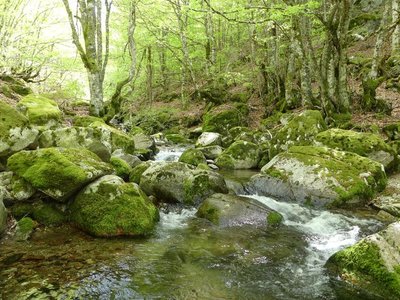
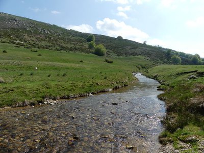
Saint-Sauveur-Camprieu
Saint-Sauveur: the path of the Dead
Water and geology
History and culture
- Medium
- 3h
- 9,1km
- +339m
Hiking on foot
Val-d'Aigoual
The 4,000 Steps
Architecture and village
Fauna and flora
- Difficult
- 8h
- 23,3km
- +1329m
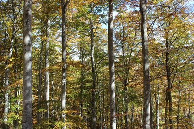
Hiking on foot
Rousses
The Aigoual forest
Causses and Cévennes / UNESCO
Forest
- Medium
- 4h30
- 11,7km
- +497m
Loading