
Filters
334 results

334 results practice: Hiking on foot, Discovery trails, Foot race, and Bike

Discovery trails
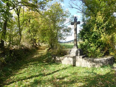
Fraissinet-de-Fourques
Agriculture and livestock farming
Water and geology
- Very easy
- 1h
- 1,6km
- +270m
Discovery trails
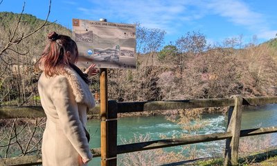
Bessèges
Water and geology
History and culture
- Very easy
- 1h
- 932m
- +19m
Hiking on foot
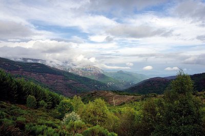
Bassurels
Aire-de-Côte
Forest
History and culture
- Very easy
- 2h30
- 7,8km
- +223m
Hiking on foot
Aulas
Around Aulas
Architecture and village
History and culture
- Medium
- 2h
- 6,3km
- +373m
Loading